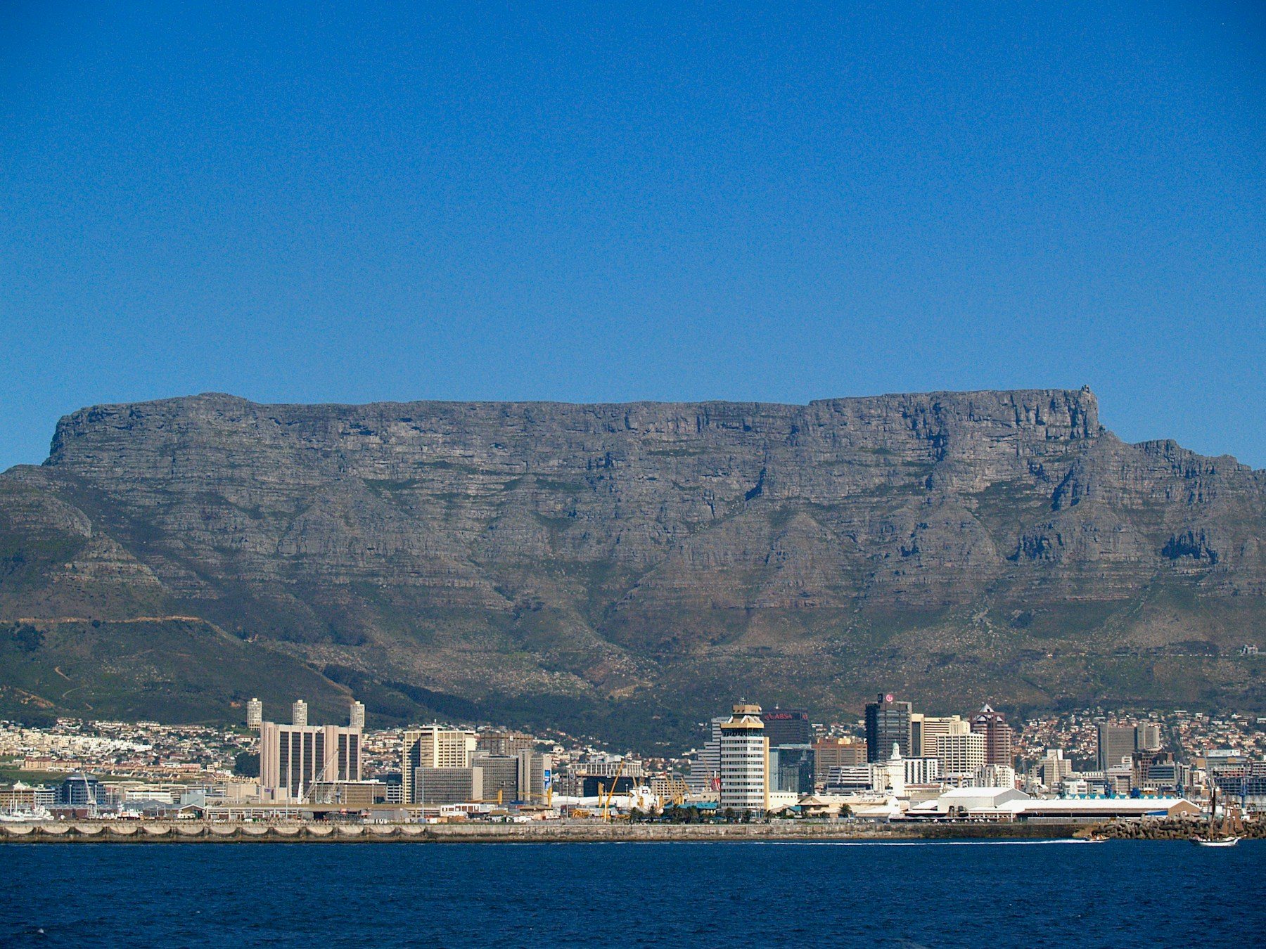
Three capitals, one country
South Africa has three capitals, split by branch of government: Pretoria is the executive capital, Cape Town the legislative capital and Bloemfontein the judicial capital. The Constitutional Court, the highest court, has been based in Johannesburg since 1994.
The country covers 1,221,037 km², has nine provinces and 12 official languages, and had an estimated population of 63,015,904 in 2024. The currency is the rand, and the time zone is UTC+2.
It is a country of very different landscapes. Kruger National Park covers 19,633 km² in Limpopo and Mpumalanga. The Drakensberg is the highest stretch of the Great Escarpment, with Mafadi, at 3,450 m, as the country’s highest point. The Cape Floristic Region holds more than 9,000 plant species.
For a visit, the three capitals matter less than the regions. Cape Town is the main coastal gateway in the south-west, with a Mediterranean-type climate and wet winters. Johannesburg is high on the interior plateau, at 1,740 m, and Kruger is in the north-east. Allow time for long drives, and check the climate for the month and region you choose, since the weather differs widely across the country. English is widely used in tourism, but 12 languages are official, and a greeting in a local language is always welcome.
Universal elections were held in 1994, and the ANC won by an overwhelming majority. South Africa is tied with Ethiopia for the most UNESCO World Heritage Sites in Africa, including the Cradle of Humankind.
From our Letsa Atlas Short · Watch on YouTube