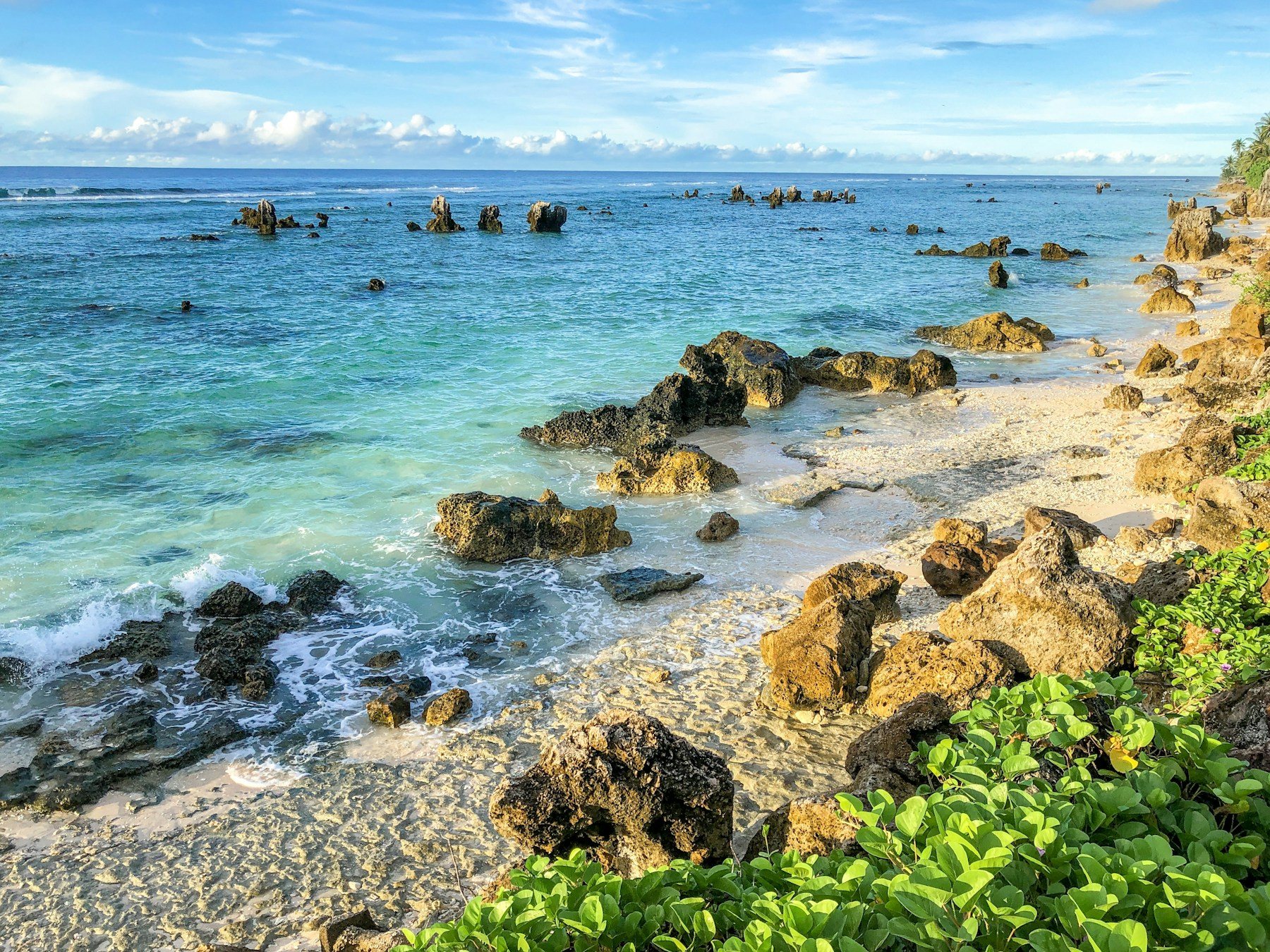
Nauru is an island republic of 21 square kilometers in the central Pacific. It is the third-smallest country in the world and the smallest member of the Commonwealth, with 11,680 residents at the 2021 census and an estimate of 12,025 for 2025. It has no official capital. Yaren is the de facto capital and the seat of parliament.
For a visitor, Nauru is a small, hot, remote place that is reached by one airport and walked or driven around in a short time. The story is more interesting than the sights: a century of phosphate mining made the country rich, then left most of its land stripped.
Nauru is the answer to the question in our video, "which country has no capital city?". For the quick version of this page, see our Nauru travel guide.
Nauru has no official capital. The island is so small that it was never organised around a single city. Yaren is the de facto capital and the seat of parliament, and it is where the main government functions are found, but the law does not name it as the capital.
The island is divided into 14 districts, grouped into 8 electoral constituencies. The largest district is Denigomodu, with 1,874 residents in 2021. Parliament has 19 members, all elected every three years, and the president is both head of state and head of government.
The island was first settled by Micronesians at least 3,000 years ago. Germany annexed it in 1888. Phosphate was discovered in 1900, and exports began in 1907, which shaped everything that followed.
Australian troops occupied the island in 1914. It was under a League of Nations mandate administered by Australia from 1923, and later a United Nations trust territory. Japan occupied it from 1942 until 1945. Nauru became independent from Australia on 31 January 1968.
In May 2026 a constitutional amendment changed the English name of the country to the Republic of Naoero, and the United Nations was informed on 26 June 2026. You may see both names in use.
Strip mining of the interior went on for about a century from 1900. The reserves were largely exhausted in the 1990s. Mining devastated about 80 percent of the land area, so today most people live along a narrow coastal ring while the central plateau is a landscape of mined ground.
The wealth from phosphate was badly managed, and the country ran into serious financial trouble in the 2000s. Today it depends heavily on foreign aid and on its arrangements with Australia. This is the context for everything you will see on the island, and a good reason to approach a visit with care rather than as a pure holiday.
The highest point is Command Ridge, 71 meters above sea level, on the central plateau. A fringing coral reef surrounds the island and has prevented a seaport from being built. There are no rivers or streams, so water comes from roof catchments or imports.
The land around Buada Lagoon supports bananas, pineapples and vegetables, and the lagoon was historically used to raise milkfish. It is one of the greener parts of the island and a useful reminder of what the whole place looked like before mining.
Nauru International Airport is the island's only airport, and Nauru Airlines provides the passenger service. Flights go to Brisbane four days a week, with limited service to Nadi in Fiji and Bonriki in Kiribati. The island can also be reached by sea through Nauru International Port, though that is mostly for cargo.
Entry rules and visa requirements depend on your passport and can change, and we have not verified them here, so check with official sources before booking. Because there is only one airline and a few flights a week, plan the whole trip around the schedule and keep some slack.
There are very few places to stay, so book well ahead and confirm by message that the booking is real. The currency is the Australian dollar, and the official languages are Nauruan and English, with Australian English the dominant variety. Bring enough cash and a backup card, and check in advance what works on the island.
Almost everything is imported, so expect prices to be higher than in Australia, and do not count on finding specific items. Bring any medication, sun protection and insect repellent you need.
The climate is hot and very humid all year, with daytime temperatures of 30 to 35 °C and nights around 25 °C. Monsoon rains fall from November to February. Rainfall varies with El Niño and La Niña, and several droughts have been recorded, which matters on an island that depends on rainwater.
Because the temperature barely changes, the choice is mostly between the wetter months, November to February, and the rest of the year. Plan around the flight schedule as much as the weather.
Nauru is not a place for a long list of sights. The appeal is in seeing a very small country up close.
Ask locally about access before you walk or drive anywhere, especially on the mined plateau, and respect private land.
This is our own suggestion, not an official itinerary.
Since 2001, Nauru has hosted an Australian offshore immigration processing centre in exchange for aid. It closed in 2008, reopened in August 2012, and held a few dozen refugees as of 2024. It is part of the country's recent story and a sensitive subject, so ask before taking photographs.
Nauruans have among the highest mean body mass index in the world. The obesity rate was 71.7 percent in 2012, more than 40 percent of the population has type 2 diabetes, and the smoking rate was 48.3 percent in 2022. These are public-health facts, and they are part of why food imports and diet are talked about so openly.
No official capital. Yaren is the de facto capital and the seat of parliament.
21 square kilometers, the third-smallest country in the world.
11,680 at the 2021 census, with a 2025 estimate of 12,025.
By air. Nauru Airlines flies to Brisbane four days a week, with limited service to Nadi and Bonriki.
The Australian dollar.
About a century of phosphate strip mining devastated about 80 percent of the land area.
Monsoon rains fall from November to February.
A May 2026 constitutional amendment changed the English name to the Republic of Naoero.
Nauru has very few places to stay. Book well ahead, confirm everything directly before you fly and expect limited choice. Compare prices and reviews, and check the cancellation terms before you reserve.
See stays in Nauru on Booking.com →
Some links on this page are affiliate links. If you book through them, Letsa Atlas may earn a small commission at no extra cost to you.
We checked this guide on November 10, 2026. Flight schedules, entry rules and prices change, so confirm them with Nauru Airlines and official sources before you go. Confirm details with official sources before you go.
Sources checked November 10, 2026: Wikipedia: Nauru · Nauru Airlines