Travel › Nauru › Nauru
Letsa Travel · Nauru

Nauru: a whole country with no official capital

A 21 km² island republic in the central Pacific, where Yaren is the de facto capital, there is no seaport and mining once stripped about 80% of the land.

The story

The country that has no official capital

Nauru is a 21 km² island in the central Pacific, the third-smallest country in the world and the smallest member of the Commonwealth. It had 11,680 residents at the 2021 census. Its highest point is Command Ridge, 71 m above sea level.

Nauru has no official capital. Yaren is the de facto capital and the seat of parliament, but the law names no capital city. The island is divided into 14 districts, and parliament has 19 members elected every three years.

The island was first settled by Micronesians at least 3,000 years ago. Germany annexed it in 1888, phosphate was found in 1900, and exports began in 1907. Australian troops occupied it in 1914, Japan held it from 1942 to 1945, and Nauru became independent on 31 January 1968.

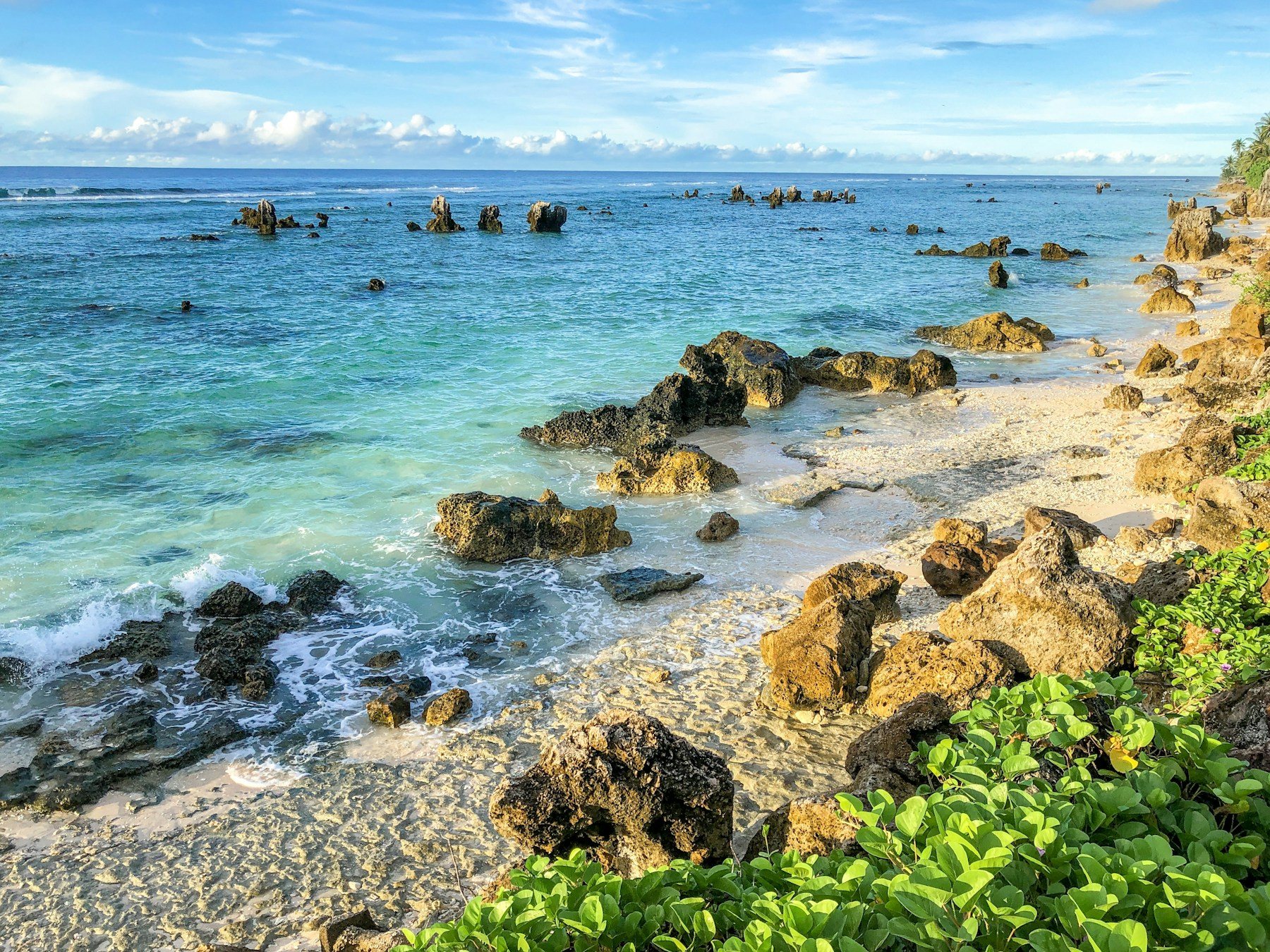
Strip mining of the interior went on for about a century, and the reserves were largely exhausted in the 1990s. Mining devastated about 80% of the land area, which is why the habitable part of the island is mostly a narrow ring along the coast. There are no rivers or streams, so water comes from roof catchments or imports.

21 km²third-smallest country in the world
11,680residents at the 2021 census
71 mhighest point, Command Ridge

From our Letsa Atlas Short · Watch on YouTube

Practical guide

Plan your Nauru trip

Check before you go: Nauru has very few places to stay, so book well ahead and confirm everything by message before you fly.

Getting there

  • Nauru International Airport is the only airport.
  • Nauru Airlines flies to Brisbane four days a week, with limited service to Nadi and Bonriki.
  • There is no deep-water harbour because a fringing reef surrounds the island.

Money and language

  • The currency is the Australian dollar.
  • Official languages are Nauruan and English.
  • Bring cash and a backup card, and check what works before you go.

Weather

  • Hot and very humid all year, 30 to 35 °C by day.
  • Monsoon rains fall from November to February.
  • Rainfall varies with El Niño and droughts have been recorded.

The landscape

  • A coastal ring of settlement around a mined interior.
  • Command Ridge, at 71 m, is the highest point.
  • The Buada Lagoon area supports bananas, pineapples and vegetables.

History in brief

  • German annexation in 1888, phosphate exports from 1907.
  • Australian occupation in 1914 and Japanese occupation 1942 to 1945.
  • Independence on 31 January 1968.

Worth knowing

  • Australia has run an offshore processing centre here since 2001, closed in 2008 and reopened in 2012.
  • Nauruans have among the highest obesity and diabetes rates in the world.
  • In 2026 the English name was changed to Republic of Naoero.

Details come from Wikipedia and may not show the latest flight schedules or entry rules. Check with Nauru Airlines and official sources before travelling. We checked on November 1, 2026. Entry rules, fees and prices change, so confirm them with official sources before you reserve.

Want the full picture? Read our complete Nauru travel guide: why there is no official capital, how mining reshaped the island and how to get there.
Where to stay

Find a place to stay

Nauru is the easiest base for this trip. Compare prices and reviews, and check the cancellation terms before you reserve.

See stays in Nauru on Booking.com →

Some links on this page are affiliate links. If you book through them, Letsa Atlas may earn a small commission at no extra cost to you.

Sources checked November 1, 2026: Wikipedia: Nauru · Nauru Airlines