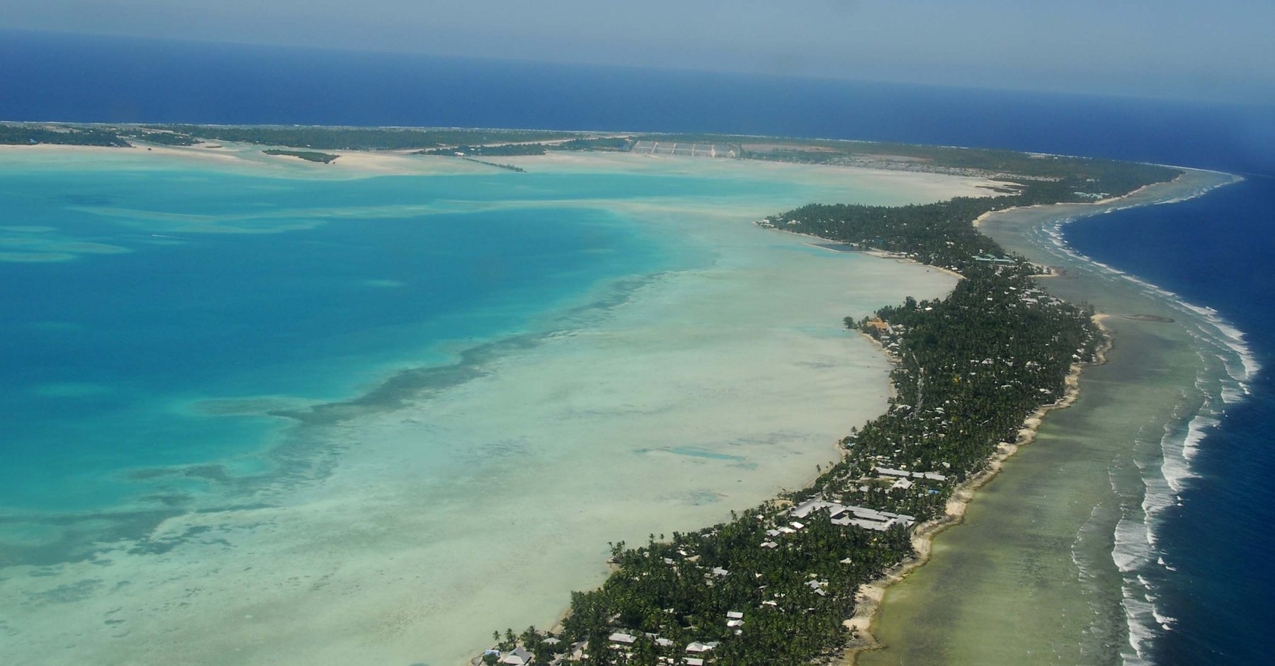
A country on both sides of the equator and the date line
Kiribati is an island country in the central Pacific. It has 32 atolls and other islands plus one raised coral island, Banaba, with about 811 km² of land spread across roughly 3.44 million km² of ocean. The islands straddle the equator and the 180th meridian.
The International Date Line was moved east in 1995 to encompass the Line Islands, so the country is no longer split across it. The southern Line Islands are in UTC+14, the most advanced time zone on Earth.
The capital is Tarawa, where more than half of the population lives. The 2024 census figure is 119,438, and the I-Kiribati are a Micronesian people, with 95.7 percent identifying as Gilbertese at the 2020 census. The official languages are Gilbertese and English.
Kiribati was a British protectorate from 1892, became a crown colony in 1916 and gained independence on 12 July 1979. As a low-lying atoll nation it is highly vulnerable to sea-level rise, with a projected rise of about 50 cm by 2100, and two uninhabited islets disappeared underwater in 1999.
From our Letsa Atlas Short · Watch on YouTube