A country that stretches over 4,300 km
Chile stretches over 4,300 km from north to south, but it is only about 175 km wide on average, up to 350 km at its widest and 64 km at its narrowest. That is roughly 24 times longer than it is wide, which is the idea in our video.
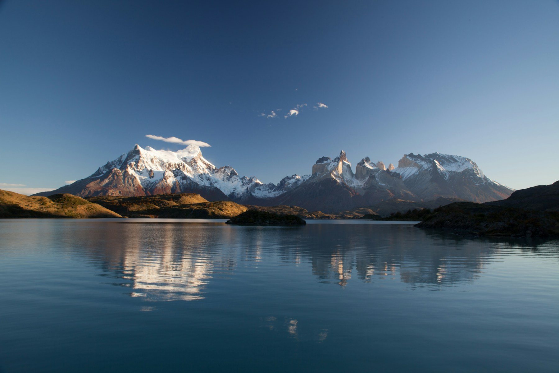
The shape explains the climate. The Far North holds the Atacama Desert, which the country describes as the most arid in the world. Patagonia extends south from parallel 41°S. In between, the climate has at least eighteen major Köppen subtypes.
The population was 18,480,432 at the 2024 census, and the capital and largest city is Santiago. Chile has 16 regions, 56 provinces and 348 communes. The highest point is Nevado Ojos del Salado at 6,891 m, the highest volcano in the world.
Because of the shape, a trip works best when it is built around one or two regions. The north is desert and high volcanoes, the centre around Santiago is wine country with a Mediterranean-type climate, and the south is Patagonia, where weather changes fast and distances are long. Chile is also a seismic country, so it is worth learning how buildings and evacuation routes work where you stay.
Easter Island was incorporated into Chile in 1888. Spanish is the official language, and the currency is the Chilean peso. Seasons are the opposite of the northern hemisphere, with summer from December to February.
From our Letsa Atlas Short · Watch on YouTube