A practical guide to G-CANS, the flood-control system beneath Saitama: what it is, how it works, the tour courses, how to book, how to get to Kasukabe and what to know before you go.
G-CANS is the popular name of the Metropolitan Area Outer Underground Discharge Channel (首都圏外郭放水路), a flood-control system between Showa and Kasukabe in Saitama Prefecture, on the outskirts of Tokyo. Wikipedia says work began in 1992 and was completed by early 2006. Its purpose is to reduce flooding of Tokyo’s major waterways and rivers during rain and typhoon seasons.
Visitors know it for its huge pressure-control tank, nicknamed the underground temple. It is a working piece of infrastructure, so tours run only when the facility is not operating and can be changed or cancelled when it is.
Our 18-second Short about G-CANS is below. For the quick version, see our G-CANS guide.
Wikipedia describes tunnels 6.4 kilometres long, 50 metres beneath the surface, with five concrete silos, each 65 metres high and 32 metres in diameter. Floodwater from smaller rivers is taken into the silos, flows through the tunnels to a large tank, and is pumped out to the Edo River.
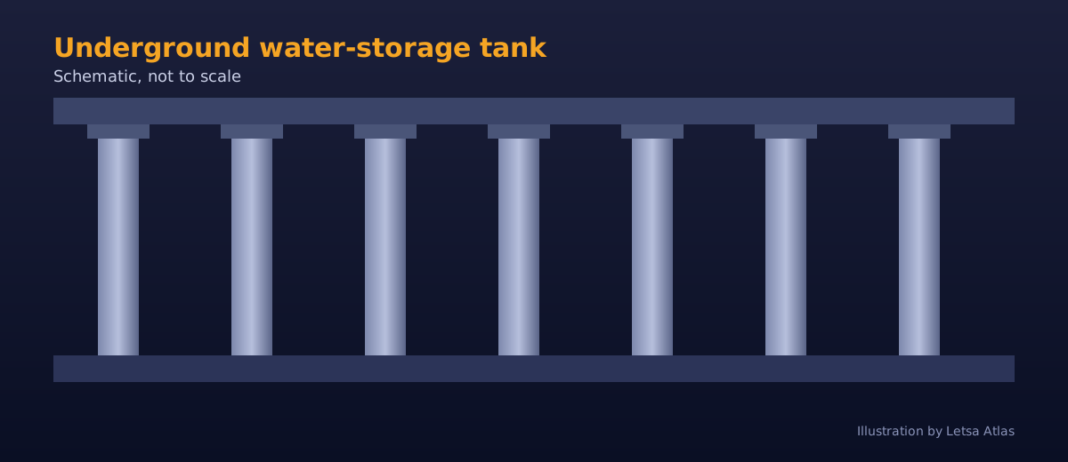
The tank is 177 metres long, 78 metres wide and 25.4 metres high, supported by 59 massive pillars. Wikipedia lists 78 pumps of 10 megawatts (about 13,000 horsepower) each, able to move up to 200 metric tons of water per second into the Edo River. That scale explains why the system is called one of the world’s largest underground flood diversion facilities, and why the tank resembles a temple hall.
The Japan travel directory we used lists three courses:
All courses include a lecture on the system and a visit to the pressure-control tank. The facility is listed as open from 10:00 to 16:00. Prices and course details can change, so confirm them on the official website.
Reservations are required through the official website. On the day, they are accepted until 10 minutes before the course starts. Credit cards are not accepted at the facility, though web payment is available. Our source does not say which tour languages are offered, so check before you book.
Because tours run only when the facility is not in operation, usually only a few times a year, and the facility is closed on certain days for inspections, plan dates carefully and have a backup for your day in Saitama.
The visitor centre, Ryu Q Kan, is at 720 Kamikanasaki, Kasukabe City, Saitama. Take a taxi for about 7 minutes from Minami Sakurai Station on the Tobu Noda Line, or the Kasukabe city community bus, which runs a few times a day. Taxis at Minami Sakurai are limited, so many visitors reserve ahead or take a taxi from Kasukabe Station. Sources disagree about the bus, so verify before you rely on it.
You need to be able to walk about 100 steps on your own. The tank is cool and damp compared with the surface, so bring a light jacket in warm months. Photography rules depend on the tour, so ask your guide. Because the site is infrastructure, follow safety instructions strictly.
G-CANS fits well into a day trip from central Tokyo. Kasukabe has local shops and restaurants near the station, so plan lunch there. If your tour is cancelled because of rain or operation, consider other Saitama sights as a backup, since a heavy rain day is exactly when the system is working.
One travel article reports that G-CANS was completed in 2006 after nearly 14 years of construction, at a cost of about 230 billion yen. It also says the system had managed floods 85 times through 2014, a cumulative figure, and that in August 2008 it handled the highest inflow on record, displacing 11.72 million cubic metres of floodwater. During peak floods, about 30 operators run the system.
Sources vary on some details, which is normal for engineering facilities described by travel writers. The tunnel is given as 6.3 or 6.4 kilometres, the tank height as 18 or 25.4 metres, and the pump count as 76 or 78. The flow capacity is given as up to 200 cubic metres or tons per second. Treat the figures as approximate.
Water enters through an overflow dike, a vertical shaft and a tunnel about 50 metres underground before reaching the tank. The system collects floodwater from smaller rivers, including the Nakagawa and Kuramatsu, according to the Japan travel directory.
The directory describes the three courses: the Impeller Exploration Course lets you see the large impeller at the back of the tank, the Shaft Experience Course shows the No. 1 shaft from a catwalk while wearing a safety belt, and the Underground Temple Course visits the pressure-control tank.
A travel article describes a briefing on the project’s history and mechanics, then a descent into the tank, where the columns, dim light and puddles create a cathedral-like space. Visitors get about 10 minutes of free time to walk around a roped-off area, and the article suggests bringing a tripod for the low light. It also says the tour is primarily in Japanese, weekdays only, and that the facility sometimes closes during heavy rain because flood control takes priority.
This is our plain-language summary of the sources above. When heavy rain raises the water in the smaller rivers, floodwater flows over a dike into one of the vertical shafts. Gravity pulls it down into the tunnel about 50 metres underground, and the tunnel carries it toward the large tank, where the pressure is balanced. Pumps then push the water out into the larger Edo River, which can take it away safely.
Because the system works only when rain is heavy, it is idle most of the year. That is the reason tours are possible at all, and the reason a tour can be cancelled if a storm arrives. If you see heavy rain forecast for your date, expect changes.
These are our own suggestions based on the sources above, not official advice.
This is our own suggestion, not an official itinerary.
The Metropolitan Area Outer Underground Discharge Channel, a flood-control system in Saitama Prefecture that reduces flooding of Tokyo’s rivers during rain and typhoon seasons.
Work began in 1992 and was completed by early 2006, according to Wikipedia.
177 metres long, 78 metres wide and 25.4 metres high, supported by 59 pillars.
Reservations are required through the official website. On the day, they are accepted until 10 minutes before the course starts.
A Japan travel directory lists 1,200, 3,500 and 4,500 yen for the three courses. Confirm on the official site.
No. They run only when the facility is not operating, and can be changed or cancelled.
A taxi of about 7 minutes from Minami Sakurai Station, or a community bus from Kasukabe that runs a few times a day.
You need to be able to walk about 100 steps on your own.
One travel article reports about 230 billion yen, with nearly 14 years of construction. Treat it as approximate.
Our sources describe tours as primarily Japanese and do not confirm English options, so ask when you book.
It is listed as open 10:00 to 16:00, but it closes on certain days for inspections, and tours run only when the system is not operating.
Most visitors come as a day trip from Tokyo. Compare prices and reviews, and check the cancellation terms before you reserve.
See stays in Kasukabe on Booking.com →
Some links on this page are affiliate links. If you book through them, Letsa Atlas may earn a small commission at no extra cost to you.
We checked this guide on November 8, 2026. Tours run only when the facility is not operating and can be changed or cancelled, and prices and languages change. Reserve through the official website and confirm before you travel. Confirm details with official sources before you go.
Sources checked November 8, 2026: Wikipedia: Metropolitan Area Outer Underground Discharge Channel · Japan travel directory: Metropolitan Area Outer Underground Discharge Channel