Travel › United States and Canada › Point Roberts
Letsa Travel · United States and Canada

Point Roberts: American, but only via Canada

A peninsula tip the 49th parallel left on the wrong side of the line.

The story

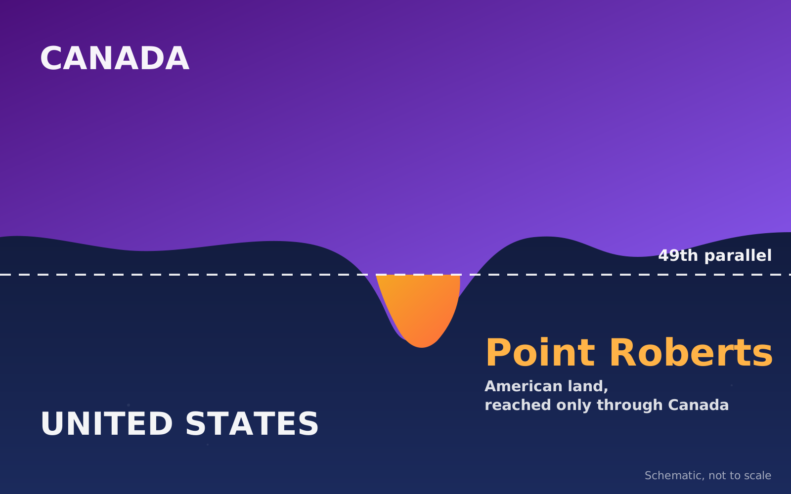
An American town you reach through Canada

Point Roberts, Washington, can only be reached by land through Canada. The 1846 Oregon Treaty set the border at the 49th parallel, and the southern tip of one peninsula ended up just below that line.

It covers 4.9 square miles. About 1,300 people live there, and the number more than triples in summer. Canadians could not buy land there until 1953, and today they own almost half the property.

Daily life shows the quirk. Children were bused off the peninsula in 1963, and a small school for the youngest grades only reopened in 1992. Going by boat, the nearest U.S. mainland town, Blaine, is 14 miles away.

Planning to visit? Because the only land route crosses Canada, check the current border requirements for your passport first.

4.9 mi²total area of the peninsula tip
1846Oregon Treaty set the 49th parallel

From our Letsa Atlas Short · Watch on YouTube
Practical guide

Plan your Point Roberts visit

Check before you go: the only land route runs through Canada, so you cross the border twice. Bring a valid passport and confirm current rules with the border agencies of both countries.

Getting there

  • By road: drive north into Canada, follow Highway 99 and then Highway 17 west toward Tsawwassen, and cross back into the U.S. at the Point Roberts crossing.
  • One travel article lists a private boat charter from Bellingham and flights with San Juan Airlines as alternatives. The same article says there is currently no regular ferry.

Lighthouse Park

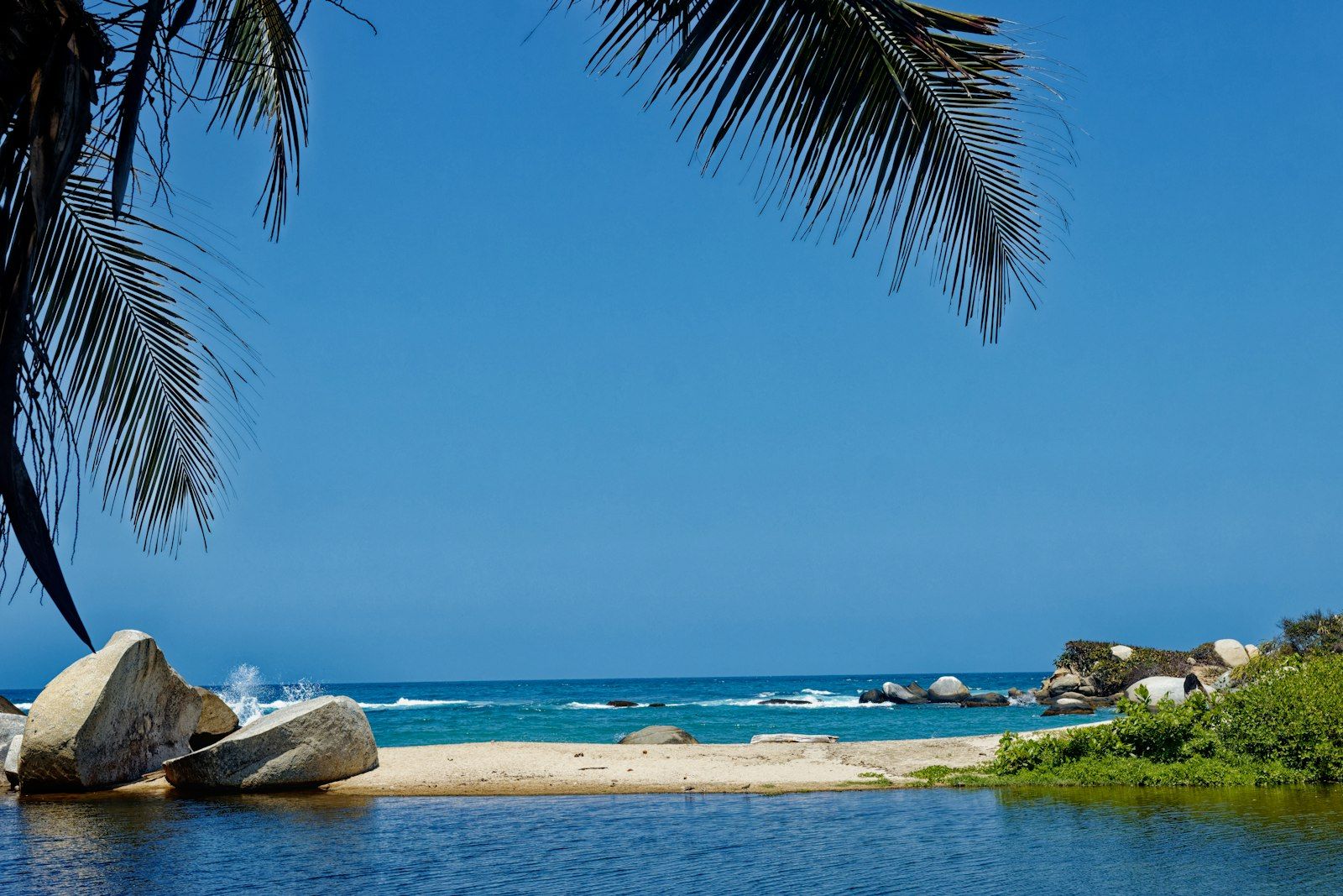
  • A marine park at the southwest tip with a campground, a boat ramp, picnic sites and a boardwalk.
  • Orcas and other whales are often seen from here in summer, and there is an interpretive center about orcas.
  • Despite the name there is no lighthouse.

Other places to see

  • Monument Park holds the western boundary marker of the 49th parallel.
  • Lily Point Marine Park has more than 275 acres, two trails and Coast Salish history.
  • Maple Beach is described as the sandiest beach, with views toward Boundary Bay and Mount Baker.
  • The Point Roberts History Center has free exhibits on select days.

Getting around

  • A 13-mile loop around the peninsula is popular with cyclists and has little traffic. Pick up a map at the History Center.
  • The golf course reopened in spring 2025.
  • A one-day music festival, Strings and Things, is held at the marina in July.

Where to stay and eat

  • One guide reports no hotels on the peninsula, so options are camping or short-term rentals.
  • Services are limited: one grocery store, a hardware store and two gas stations.
  • Kiniski's Reef Tavern and the Saltwater Cafe both have patios with ocean views.

Safety on the water

  • A riptide often forms off the southwest point, and strong winds and currents can create dangerous conditions.
  • Reaching the park by boat means a long, open crossing through busy shipping channels. Check Canadian border procedures if you continue into B.C. waters.

Details come from tourism and travel articles and can change. We checked on November 1, 2026. Confirm hours, camping rules and border requirements before you go.

More video

Watch a tour of Point Roberts

A two-minute tour from the regional tourism office of Whatcom County, which includes Point Roberts.

Sources checked November 1, 2026: HistoryLink (history) · Bellingham Whatcom Tourism · Washington Water Trails Association (Lighthouse Park) · Seattle Refined (route and tips)

Keep exploring

More places in the series